
I was very happy to check out of the hotel in Hamamatsu with hopes of something better at my next base in Nagoya – although the staff were extremely helpful in organising to have my bag sent onwards.
The temperature had certainly dropped a few degrees from recent days, and it was made chillier by a brisk north-westerly breeze into which, it turned out, I’d be walking for most of the day.
To get back to Futagawa I took the Shinkansen to Toyohashi and then backtracked slightly on the Tokaido-line local train. I could have taken the local all the way from Hamamatsu, but I’m not going to pass up the opportunity for a ride on the Shinkansen when available.
At Toyohashi, a goods train occupied the opposite platform while I waited for my train. I’d have thought Qantas would have reasonable grounds for copyright infringement. Anyway, I don’t think the container actually had anything to do with Australia.

On the outskirts of Toyohashi, a beautiful three-storey pagoda stood in the grounds of a temple next to a busy intersection. The temple itself was nothing special, as if acknowledging there wasn’t much point trying to compete with this:


The sign to the right of the pagoda steps said, in part, “Pray for the healing of disease, elimination of illness, harmony in the universe, and peace and well-being of the nation”.
Today also brought some more fine examples of ‘manhole art’ (can anyone think of a better name?) This one paid homage to Toyohashi’s trams (which I saw) and a notable building (which I didn’t):

A restaurant window featured some other works of art: plastic replicas of food. They’re everywhere in Japan, to the point where even after a couple of weeks you stop noticing them … unless they really stand out from the crowd, as these ones did:

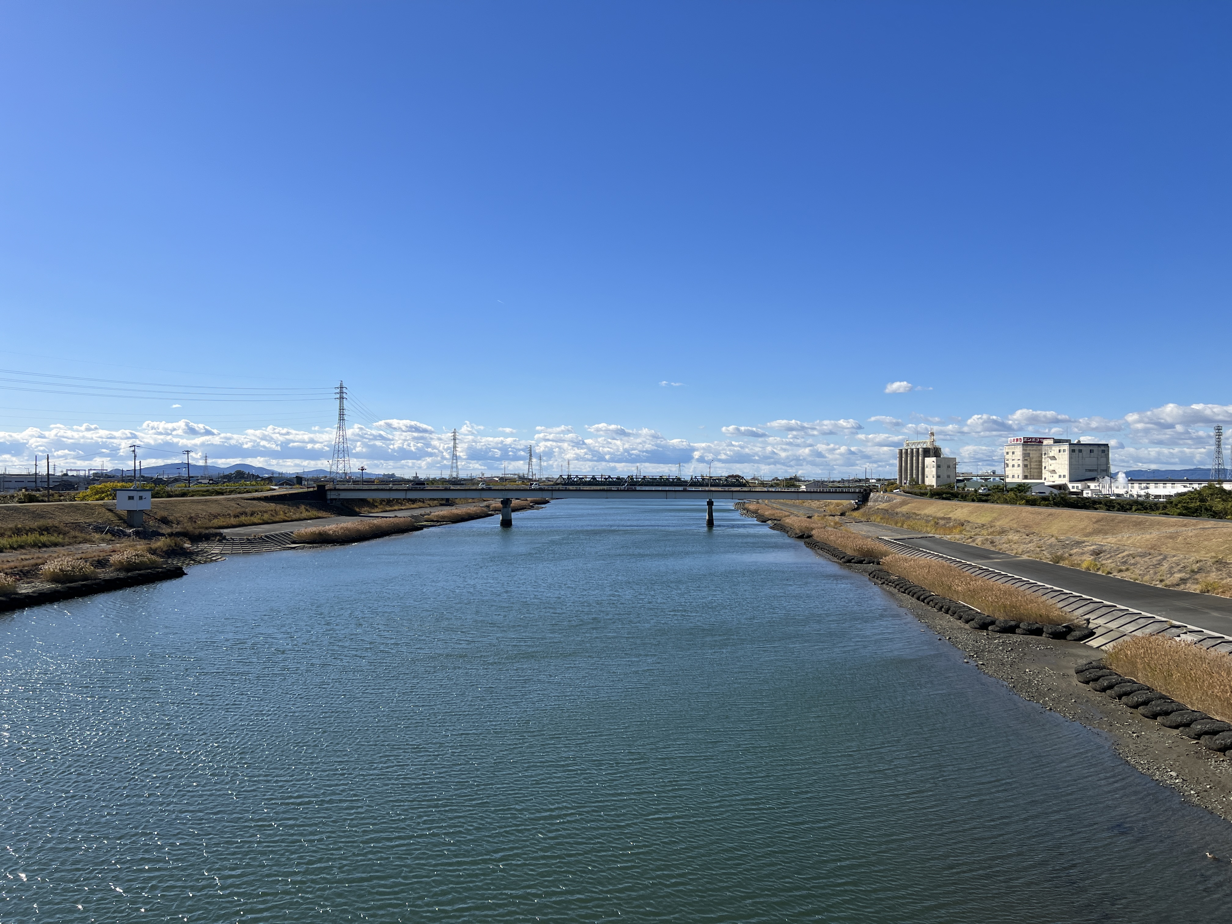
Just before crossing the Toyokawa (Toyo River – so Toyohashi means ‘Toyo bridge’) I came across a beautiful little shrine, called Tsukushima Bentensha, on a tiny island in a small lake:

A nearby signboard dates the shrine to 1795 and mentions the painted panels of the exterior ceiling, which were created by the “official painter” of a nearby powerful family:

The river crossing itself was hard work, as a strong and chilling wind blew straight up the river:

Another river crossing a few kilometres on was even less fun, as here the busy, two-lane road had no footpath and I had to squeeze myself against the barrier at the side of the road whenever a truck passed. Fortunately, just as I was about to step onto the bridge itself, I realised there was another crossing a couple of hundred metres upstream that looked potentially less life-threatening. And so it proved. This is the view looking back from the ‘good’ bridge to the ‘bad’ bridge:
A minor bonus of this small detour was that it took me briefly back on to Route 1, and it just so happened that on this stretch I passed the 300km marker from Nihombashi:

Needing a toilet and a bite to eat, I climbed some steps into what was labelled on Apple Maps as a park but turned out to be the grounds of a shrine. Noticing a ‘restroom’ and a promising spot to eat my konbini sandwich, I did the right thing and paid my respects at the shrine itself before taking advantage of either of them. Inside the shrine was a large rabbit. No idea why, as other needs were more pressing and I didn’t hang around to translate the signs:

As I was eating the sandwich (I was outside the torii gate, so felt it was probably ok), a car pulled up and two women got out. One of them stared at me quite intently and I thought I was going to get a telling off for eating in the wrong place. I bowed slightly and said ‘konnichiwa’, which she returned, so I decided I was probably safe. They both came over and spoke to me, and I realised that the first woman in fact had a medical condition that accounted for the rather fixed pose she had earlier. The conversation went nowhere – I was trying to explain that I had visited the shrine and thought it was beautiful – so I showed them my written introduction. This produced a few comments about Australia and best wishes for my trip, and we parted with many bows while they went into the shrine. This was the view of the torii gate from my lunch spot:

An hour or two later I dropped into a konbini to use the facilities and buy a snack (these things have become very important to me). A Muzak version of the Carpenters’ Top of the World was playing over the store audio, and the song repeated on an endless loop in my head for the rest of the afternoon. (And now it’s in your head…)
Most of today’s walk scored less than 5/10 for scenic beauty, but near the end, at Goyu, one of the best-preserved line of pines I’ve yet come across lined the road for maybe half a kilometre:


Just beyond the avenue of pines, a metal pavement-hole cover (still trying to find the right term) paid homage to one of Hiroshige’s prints, in which the viewer looks into the rooms at one of the inns at the nearby Tokaido post town of Akasaka:

Here is the original for comparison:

The next post town on is Fujikawa, but that was a step (or a thousand) too far. I got as far as the railway station of Nagasawa, from where I caught a series of trains onwards to Kanayama in central Nagoya and my new hotel. I’m delighted to say it’s an enormous improvement on the previous one, in every respect. More tomorrow.
Comments
Post a Comment