Today’s walk was flat and somewhat featureless, although there were some charming moments along the way to make up for the lack of scenic beauty. Conditions were clear and cool, but with a blustery breeze that I was walking into for most of the day.
I checked out of the hotel in Shizuoka and organised to have my luggage sent on to Hamamatsu. For the first time, I had to fill out the courier docket myself, so I hope I did it correctly. It’s due to arrive tomorrow. The AirTag inside says it hasn’t yet left Shizuoka, so we’ll see.
Breakfast was again a konbini-bought egg sandwich and vending machine coffee while waiting for the bus outside the train station. This bus was on time, and retraced last night’s journey back up the valley, through the long, modern tunnel and down into Okabe.
Up on a river wall, a tiny shrine housed a jizo. The offering box, which you can just make out behind the end of the bell rope, was proportionately miniature. Despite its diminutive scale, this shrine is obviously loved and well maintained by the local community.
At Suga shrine, a vast and obviously ancient tree dominated the street. A sign identified it as a 500-year-old camphor.
Just around the corner, in one of the largest and best-equipped public parks I’ve come across, a big group of seniors were playing a game that seemed to be a cross between croquet and golf.
I took advantage of the benches to have a rest, enjoy the game, and eat a couple of the mandarins bought at the roadside stall yesterday. It’s amazing how much better they tasted without a facefull of second-hand cigarette smoke.
Through Fujieda City, the footpath was dotted with these decorative tiles:
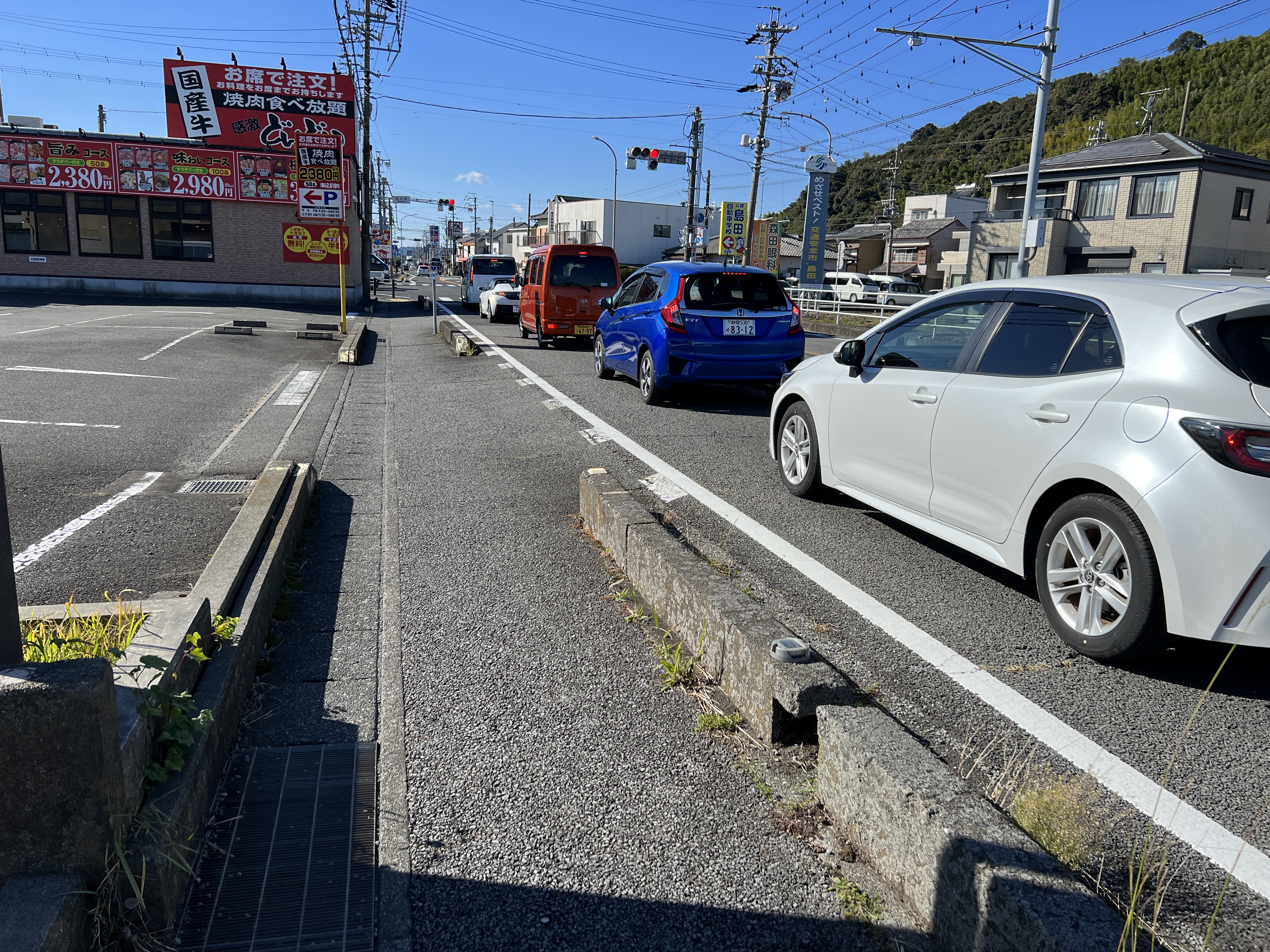
Apart from the flatness, one of the things that made today’s walk easier was the quality of footpath (and not just aesthetically). Most of the Old Tokaido is a narrow road, carved out before the days of vehicular traffic, with houses and other building crowding in on the other side. Now, of course, it carries cars as well, with the result that a lot of it looks like this:
That white line is all that separates you from the traffic.
Today, however, much of the OT looked like this:
… or even like this!
Spotting an interesting-looking cafe and feeling in need of a rest and some caffeine, I opened the door to be warmly greeted by the woman behind the counter and two customers. As usual, conversation was limited by my lack of Japanese, but they were all so friendly it didn’t really seem to matter. The coffee was excellent, I was given a traditional sweet containing (I think) red bean paste, and they kindly agreed to let me take their photograph (one of the customers had left by this point). If you’re ever in Fujieda, drop into Dabuemu (apologies if I got the name wrong!) and say hi.
They even insisted on taking a photo with me in it, which (unusually) I managed not to ruin:
Thank you Risa and Kiyoka! That coffee and sweet kept me going all the way to Kanaya.
From here on, the Old Tokaido joined and left, crossed and re-crossed Route 1. I passed a marker indicating 205.7km – that’s as measured from Nihombashi, the start of my walk a week and a half ago. I’ve walked quite a bit further than that, as the OT takes a much less direct route than the highway, blessed as it is with all the advantages of modern engineering.
At Shimada, another of the old post towns on the Tokaido, a large, beautiful shrine was well worth a few minutes looking around.
Not far beyond that is the wide Oi River. Nowadays, there are several bridges across, carrying road and rail, but a model on the east bank gives an idea of how things used to be carried:
This is the start of the bridge. Note that the end isn’t actually visible.
Crossing it was hard work. Not only is it very long – over 1000m, according to a plaque on the other side – but that blustery, swirling breeze caught my backpack and kept trying to push me into the side railing. Not that I was in any danger, but it added considerably to the effort. Also on the far side is another representation of an old-style river crossing.
From there it was just a couple of kilometres up the hill to Kanaya Station and a train onward to my new hotel in Hamamatsu. Considering Shimada had been the original target for today’s walk, I was pretty pleased to make it that far, especially given the weight of the pack. Tomorrow, with a lighter load, I’m hoping I’ll be able to make a really good distance.


Beautiful photos John. I am so enjoying my armchair walk through Japan.
ReplyDeleteThank you! Do leave a name if you’d like to - it seems to default to anon.
ReplyDeleteSorry John - just saw this. Still loving the blog!
ReplyDelete